Now Reading: Trump Sparks International Fury After Map Appears to Show Canada, Iceland and Greenland as Part of US
-
01
Trump Sparks International Fury After Map Appears to Show Canada, Iceland and Greenland as Part of US
Trump Sparks International Fury After Map Appears to Show Canada, Iceland and Greenland as Part of US

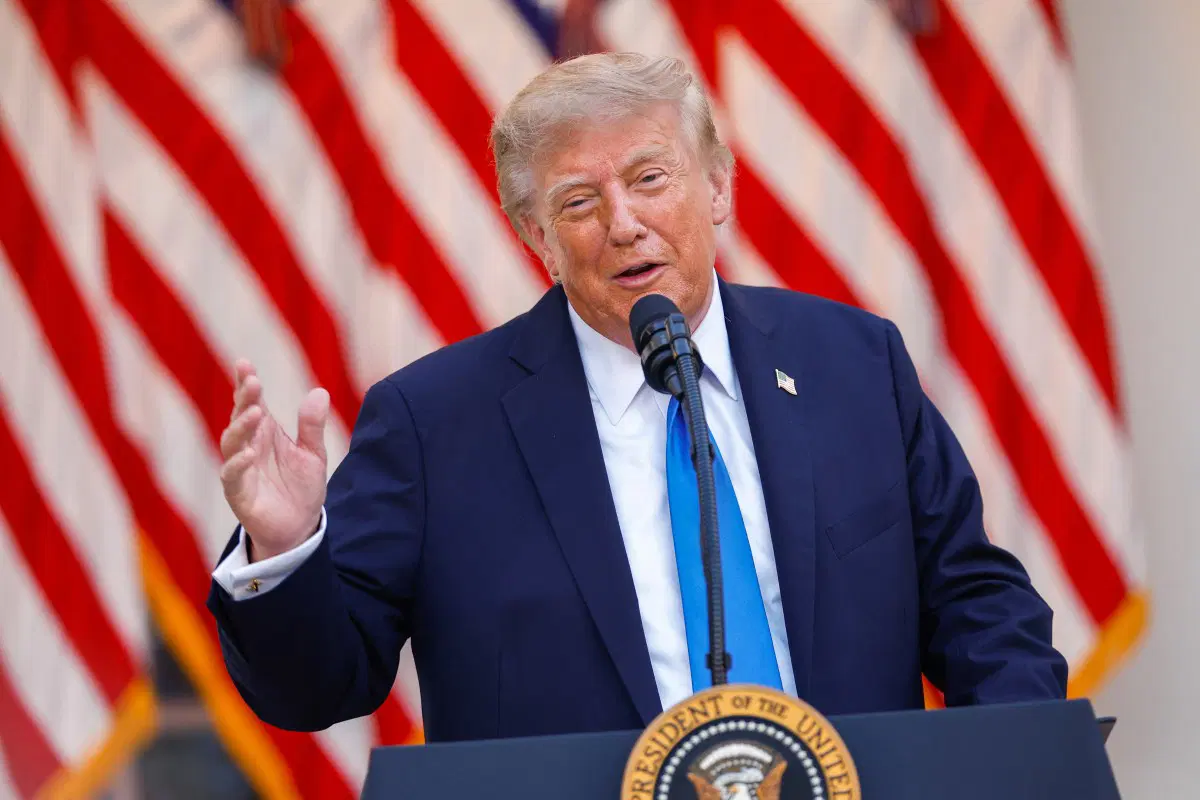
US President Donald Trump has triggered fresh international controversy after sharing a map that appears to depict Canada, Greenland, Iceland, Mexico and parts of the Caribbean as territories of the United States.
The map, posted on Trump’s Truth Social account on Monday, showed the countries and Caribbean territories in the colours of the US flag, while the entire landmass was labelled “United States of America.” Trump offered no explanation alongside the image.
Iceland responded sharply on Tuesday, saying it had summoned the US ambassador to make clear that the map was “wholly inappropriate.” The reaction came as Trump continued a series of posts featuring provocative territorial imagery.
Trump published about 100 messages on Truth Social over the Labor Day weekend, according to an AFP count. Around 60 were posted on Sunday, while another 37 appeared within 10 hours on Monday.
His posts included a cartoon showing him playing an ice hockey match against Canadian Prime Minister Mark Carney. In the image, Trump is seen telling Carney, who is lying on the ice, “Get up governor.”
The latest controversy comes amid strained US-Canada relations, with Washington and Ottawa locked in a trade dispute. Canada is set to impose retaliatory tariffs on billions of dollars’ worth of US goods on Tuesday.
Trump has repeatedly argued that Canada should become the 51st US state, a position that has been strongly rejected by Canadian officials. He has also continued to make territorial claims involving Greenland, which is an autonomous territory of Denmark.
In another Truth Social post, Trump shared an image showing himself receiving former US President George Washington in the Oval Office, adding to a series of unusual and politically charged images posted during the holiday weekend.